
Euless ZIP Codes and Delivery Areas
City-issued Euless Today states that only two ZIP codes serve Euless: 76039 and 76040. The city statement is a useful first check, but the service area is not a city boundary. The county ZIP map and an address-specific USPS result supply the next checks. The table records only the coverage stated in the research, not a neighborhood-by-neighborhood line that the official sources did not publish.
| ZIP | Areas covered | Post Office | Record-search note |
|---|---|---|---|
| 76039 | Generally central and northern Euless delivery area | USPS Euless designation; exact station not located in official sources | The city says it serves Euless; verify a particular address with USPS. |
| 76040 | Southern Euless delivery area and a small Fort Worth section immediately south of Euless | USPS Euless designation; exact station not located in official sources | The ZIP alone does not establish that an address lies in Euless. |
The Euless ZIP code directory therefore has two distinct functions. First, it identifies the delivery label returned for a full address. Then it tests whether that address is inside the Euless city line. Do not invent a third local ZIP, a unique institutional ZIP, or a named post-office station from a map that does not publish those details.
Map Euless Postal Boundaries
The Tarrant County ZIP map is effective January 1, 2024 and warns that boundaries may be revised. Tarrant's ArcGIS ZIP layer contains 76039 and 76040 for this area, notes ZIP boundary data from December 2014, and exposes area, post-office, and population fields. Those fields describe the layer, not a verified list of current Euless residents.
The captured view comes from the Tarrant ArcGIS ZIP layer, an official county mapping source for comparing ZIP geography.
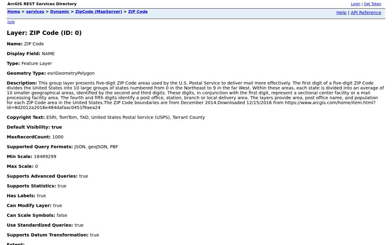
Use the county layer beside the city-limit map, not in place of it. A city-limit line is tied to municipal jurisdiction and ordinances, while a ZIP layer represents delivery geography. The two can overlap without matching.
Verify an Euless Postal Address
USPS is the address-level check. Enter the complete street address, city, and state in the USPS address lookup instead of assuming that a city name determines a ZIP. Preserve the returned postal ZIP as a delivery fact. Next, compare it with the current county map and then with an Euless or Tarrant city-limit map before using the address in a municipal record search.
| USPS lookup field | Input | Why it matters |
|---|---|---|
| Street address | Complete delivery address | Anchors the result to one delivery point rather than a broad ZIP area. |
| City | City label supplied with the address | Supports postal matching but does not settle municipal jurisdiction. |
| State | Texas | Completes the postal query for an Euless-area address. |
The official USPS interface is shown in this address-to-ZIP capture. It is the correct first tool for confirming a delivery ZIP before moving to a county or city record.
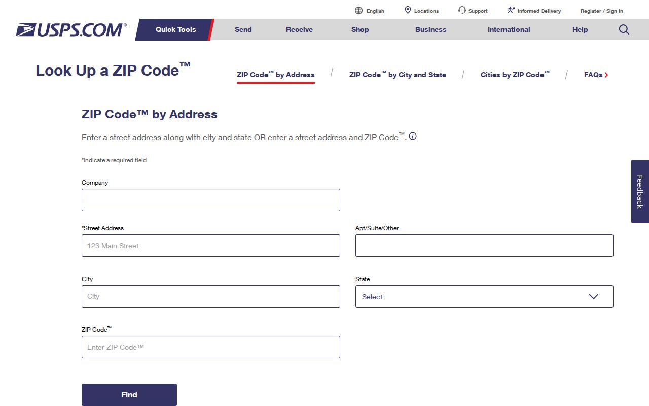
A returned ZIP does not replace the parcel map. It answers where mail is addressed, which is one of several labels a researcher should keep for the same property.
Find Euless Records by ZIP
ZIP-aware searching is limited and tool-specific in Tarrant County. The voter location search accepts an address or ZIP for election information. A statewide voter-file request can filter a Texas mailing address and county, but it requires the state form and affidavit process. TAD, the tax portal, and the county GIS viewer are useful after an address is known, yet the observed research did not show a ZIP field or documented ZIP-wide parcel list in those systems.
- Run the complete address through USPS and record the returned ZIP, delivery city, and date checked.
- Compare that result with the Tarrant ZIP map and an Euless city-limit or county parcel map.
- Use the Tarrant voter location search with the address or ZIP only for its location-oriented election information, not as a ZIP-wide resident list.
- For a statewide voter-file request, use the Texas Secretary of State public-information form and follow its filter and affidavit requirements.
- Once a ZIP result is narrowed to a specific street, continue with the Euless street directory for parcel, deed, map, and permit work.
The sequence ends at a site address because property and municipal records use site, parcel, account, or owner inputs. A ZIP reduces the geography; it does not replace the identifiers used by those records.
Euless ZIP Tools Use Different Inputs
A search failure often reflects the wrong input field rather than a missing record. The tools below were inspected for the specific ZIP-related controls documented in the research. This comparison also shows why a ZIP should be checked first and then translated into the address or parcel terms each system expects.
| Official tool | ZIP-aware input | What the tool does not document |
|---|---|---|
| Tarrant Voter Lookup | Address, ZIP Code, or location entry for election information | A public browse of all voters on a ZIP or street |
| Texas SOS voter-file request | Texas mailing-address filter and county selection on the request form | A simple live ZIP search; current fee and delivery details were not located |
| Tarrant Appraisal District | Generic property type and search term | A ZIP search field in the observed interface |
| Tarrant Tax Office | Account, owner address, owner name, property location | A ZIP field or ZIP-wide address list |
| Tarrant GIS Public Map Viewer | Address, account, owner, and map layers | A documented ZIP-wide parcel list |
For voter data, the official Texas public-information request form lists status, mailing-address, date, age, county, and other filters. It also warns that regulated data and protected-voter rules apply. Date any search result because registration status and precinct assignments can change.
Euless City Limits Outrank ZIP Codes
The clearest local boundary caution is 76040. The city says a small section of Fort Worth immediately south of Euless uses that ZIP. That means an address carrying 76040 can be in the Euless delivery area without being within Euless municipal limits. The city line, not the ZIP, controls municipal residency.
Use the Euless Maps page for the Map Atlas and City Limit Line Index, then compare the parcel with the county map. Where the sources use different labels, retain delivery city, municipal jurisdiction, and postal ZIP rather than changing one value to match another.
Boundary rule. ZIP 76040 is shared delivery geography, so it cannot by itself prove that a location is inside Euless.
Euless Postal Terms in Records
Postal words and land-record words describe different things. Keeping them separate avoids a common Euless postal-label error: treating the label on an envelope as the legal location of a parcel. These short definitions also make it easier to decide which identifier to carry from USPS into the map, appraisal, tax, or deed system.
- ZIP
- A postal delivery area. It can cover more than one municipal jurisdiction.
- ZIP+4
- An added four-digit delivery refinement used with a ZIP; it is not a city-boundary identifier.
- PO-box ZIP
- A ZIP used for post-office boxes. It does not identify the physical site where a person lives or a parcel sits.
- Unique ZIP
- A ZIP assigned to a single organization or destination. No verified Euless unique ZIP was located in the official research.
- Carrier route
- A postal delivery grouping within a ZIP area, not a municipal boundary or public resident roster.
- Situs and legal description
- The situs is the physical parcel address; the legal description is the subdivision, lot, block, survey, or other land identifier used in records.
The Euless ZIP code directory uses postal labels to narrow an address, while TAD and the Clerk use parcel and legal-description information to verify the land record behind it.
Date Euless ZIP History
Historical work needs the map from the relevant period. The Walls collection holds ZIP boundary maps for 1990, 1991, and 1996, which can show how an older address was labeled. Compare those maps with the 2024 county map and an address-specific USPS lookup rather than projecting a current ZIP backward in time.
A historic directory, deed card, obituary, or map may say Euless, Fort Worth, a rural route, or a neighborhood name for a place now understood differently. Euless was incorporated in 1953 and its boundaries changed with later regional development. A legal description and year-specific map are stronger evidence than discarding a result solely because its city label differs from the modern one.
Note: official sources did not establish a confirmed ZIP split or realignment year, so a date should not be assigned to a boundary change without a period map or postal source.
Know Euless ZIP Search Gaps
The available official sources do not provide a neighborhood-by-neighborhood ZIP boundary table, exact post-office station names, per-ZIP Euless registration counts, or a confirmed split year. They also do not make TAD, tax, or GIS into ZIP-wide parcel browsers. Those absences matter because a broad result can include neighboring-city addresses, PO boxes, delivery conventions, and records from a different jurisdiction.
Euless permits and code records use a site address, and public district tools may use an address, but neither is a public resident directory. Private utility and delivery data are not public records for this purpose. When municipal residency matters, stop at the address, inspect the city-limit and parcel evidence, and request a specific public record from the proper custodian if the online tool ends.
Limit Euless ZIP Results
A ZIP-based result should be treated as geography, not a claim about a household. Voter records are person-oriented and protected voters or Texas Address Confidentiality Program participants can be omitted or use substitute-address protections. A parcel owner may receive mail elsewhere, and a delivery ZIP can cross the city line.
For family-history, heir, civic, or property questions, record the source, result date, address label, ZIP, city-limit finding, and parcel identifier. That small evidence trail makes it possible to revisit the same Euless address without overstating what one postal field can show.